
Plan For Severe Weather Saturday, Poudre Fire Authority Says
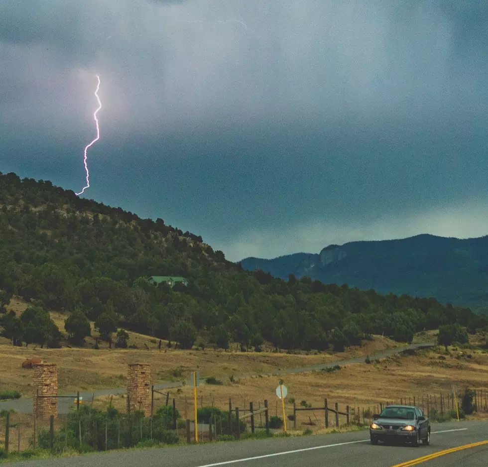
If you're set on being outdoors this weekend, Poudre Fire Authority says to plan ahead for storms starting Saturday afternoon. The National Weather Service reported that hail, wind and flooding are very possible.

If you live along the Front Range in Fort Collins and Loveland, the risk of Saturday's weather will be marginal, according to the National Weather Service. We can expect temps in the 70s, with afternoon thunderstorms. However, if you live east of the I-25 corridor, especially on the east side of Greeley, the risk is slightly elevated.
Additionally, because of burn scars from the Cameron Peak Fire, flooding in that area (west of Fort Collins) is possible. So if you are thinking about hiking in the area, or heading up the canyon, be aware.
The National Weather Service says that there is low tornado risk for Saturday, however, there is a medium to high hail risk (yay), a medium to high wind risk and a medium flooding risk.
Earlier this week, a flood advisory was issued for Rocky Mountain National Park, due to the East Troublesome Fire's burn area. A flood advisory was issued at the same time in the area of the Cameron Peak Fire, which included the town of Rustic and Pingree Park.
In August of 2020, the Cameron Peak Fire ignited west of Fort Collins, and burned for 111 days before reaching 100 percent containment. It became Colorado's largest wildfire ever recorded, at over 200,000 acres. Colorado's second-largest wildfire burned adjacently and simultaneously, with the East Troublesome Fire burning almost 200,000 acres in the fall of 2020. The threat of flash flooding in those areas is a large concern with heavy rainfall.
How The 2020 Cameron Peak Fire Grew
More From Retro 102.5